Add or Edit GIS Service Resources
Service Resources is used to configure GIS service resources, which include a Name, Service Type, URL, and Security Type. The mobile apps do not currently support image services.
- Click the Service Resources tab.
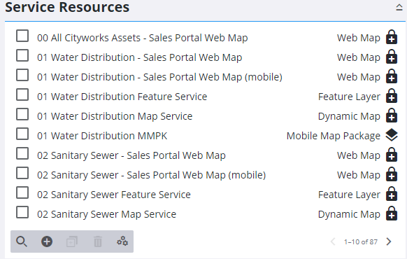
Existing services are displaying in the GIS Service Resources panel. You can filter the list by clicking Filter records and entering the first few letters of the service or service type.
On the column on the far right of the panel, there is an icon next to each service that designates whether it's HTTPS or HTTP. A lock icon represents HTTPS protocol, and the text HTTP designates that the service is using HTTP. Cityworks recommends that HTTPS protocol is enabled, rather than HTTP, as it is more secure than HTTP. For more information see the Externalize Cityworks Server white paper on MyCityworks.
- Click Add record to add a new service resource. See one of the following topics for more information: Add a Dynamic Map, Add a Feature Layer, Add a Geocode Service, Add a Geometry Service, Add an Image Map, Add a Mobile Map Package, Add a Print Task, Add a Route Task, Add an SOE, Add a Tile Package, Add a Tiled Map, Add a Vector Tile, Add a Web Map, and Add a Web Scene.
 TIP: You can filter the list of records displayed. See Filter Records for more information.
- Select the new service resource from the Service Resources panel to finish entering the Resource Details.
For an explanation of the fields found on the Service Resources page, see Service Resources Fields.
- To edit a service resource, open it from the Service Resources panel and make the desired changes.
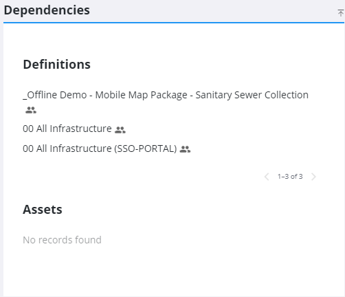
The Dependencies panel shows any service Definitions that are using the resource, or any Assets that are dependent on the resource.
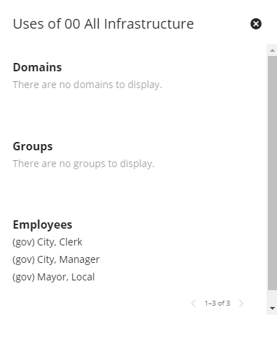
- Tap the Show Usages icon next to the service definition to see any Domains, Groups, or Employees associated with the definition.
 NOTE: Admin automatically saves the changes you make. A notification pops up at the bottom to verify changes have been saved.